Exploring the Power of LiDAR Drone Scanning with THE FUTURE 3D
LiDAR (Light Detection and Ranging) technology has experienced a revolutionary advancement in recent years, especially in its integration with drones. Businesses and organizations are realizing its potential, and the results are transformative. As we delve into the capabilities of LiDAR drone scanning, it’s worth noting how pioneering companies like THE FUTURE 3D are at the forefront of bringing these technologies to clients across Miami, FL; New York; New Jersey; Connecticut; Los Angeles, and nationwide U.S.
What is LiDAR Drone Scanning?
LiDAR is a remote sensing method that uses light in the form of a pulsed laser to measure distances. When mounted on drones, LiDAR systems can scan vast expanses of land with incredible accuracy. These drones send out thousands of laser pulses every second, which bounce back after hitting objects on the ground. This data is then processed to produce detailed, three-dimensional images of the surveyed area.
How is it Done?
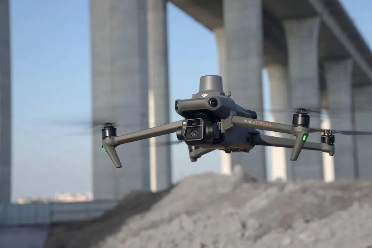
Drones equipped with LiDAR sensors, such as the industry-leading DJI M350 RTK, fly over designated areas, sending laser beams to the ground. The time taken for the light to reflect back to the sensor provides a precise distance measurement. The resulting dataset, combined with GPS and IMU (Inertial Measurement Unit) data, delivers accurate topographical maps and 3D models.
Suitable Projects for LiDAR Drone Scanning
- Forestry: For assessing forest canopy and biomass estimation.
- Archaeology: To uncover and document buried historical sites.
- Urban Planning: Detailed 3D mapping of cities and towns for infrastructural development.
- Environmental Monitoring: Understanding terrain changes, watershed modeling, and flood risk analysis.
- Construction and Mining: Accurate volume measurements and site progress tracking.
Who Needs LiDAR Drone Scanning?
From architects and city planners to environmentalists and construction giants, the application of LiDAR drone scanning spans various industries. Businesses striving for accuracy in topographical data, comprehensive site surveys, and cost-effective solutions are turning to companies like THE FUTURE 3D for these cutting-edge services.
- Real Estate Developers: For precise land surveys and topographical analyses.
- Government Agencies: Urban planning, environmental monitoring, and disaster management.
- Utilities: For infrastructure planning and management.
Why Opt for LiDAR Drone Scanning?
- Precision: With advanced drones like the Rock R3PRO, LiDAR scanning offers unparalleled accuracy.
- Speed: Cover vast areas in a fraction of the time compared to traditional methods.
- Safety: Survey hazardous areas without putting personnel at risk.
- Cost-Effective: Reduction in man-hours and logistics-related costs.
Conclusion
In a rapidly evolving technological landscape, staying updated is the key to success. With the transformative power of LiDAR drone scanning, businesses have an opportunity to elevate their operations, improve efficiency, and cut costs. If your projects demand accuracy, speed, and the best in technology, it’s time to explore what THE FUTURE 3D, with its nationwide presence, has to offer. Dive into the future, and harness the power of LiDAR with THE FUTURE 3D.
Ready to Start Your Project?
Get a free quote and consultation from our 3D scanning experts.
Get Your Free Quote


