Drones and BIM: Revolutionizing Construction Industry with LiDAR
The construction industry has been going through a digital transformation, with Building Information Modeling (BIM) leading the change. BIM is a process that involves creating a digital model of a building or infrastructure project, which can be used for design, construction, and maintenance. BIM can improve project collaboration, reduce errors, and increase efficiency. Now, drones and LiDAR technology are playing a significant role in the BIM process, revolutionizing the way construction projects are planned and executed.
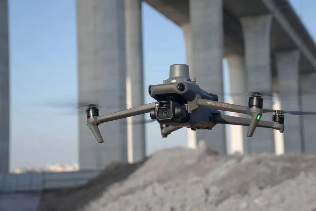
Drones, equipped with high-resolution cameras and sensors, are being used to capture data about the construction site and the surrounding environment. However, using LiDAR-equipped drones can provide more precise and accurate data. LiDAR is a remote sensing technology that uses laser pulses to measure distances, which can then be used to create 3D models of the site. LiDAR technology can provide more detailed and accurate data than traditional surveying methods, making it an ideal tool for the BIM process.
By using LiDAR drones for data collection, project managers can obtain more detailed information about the site, including the shape and contour of the terrain, the position of existing structures, and the location of utilities. This information can be fed into the BIM model, providing a more accurate and up-to-date representation of the project. LiDAR technology can also be used to detect potential hazards and obstacles, improving site safety and reducing the risk of accidents.
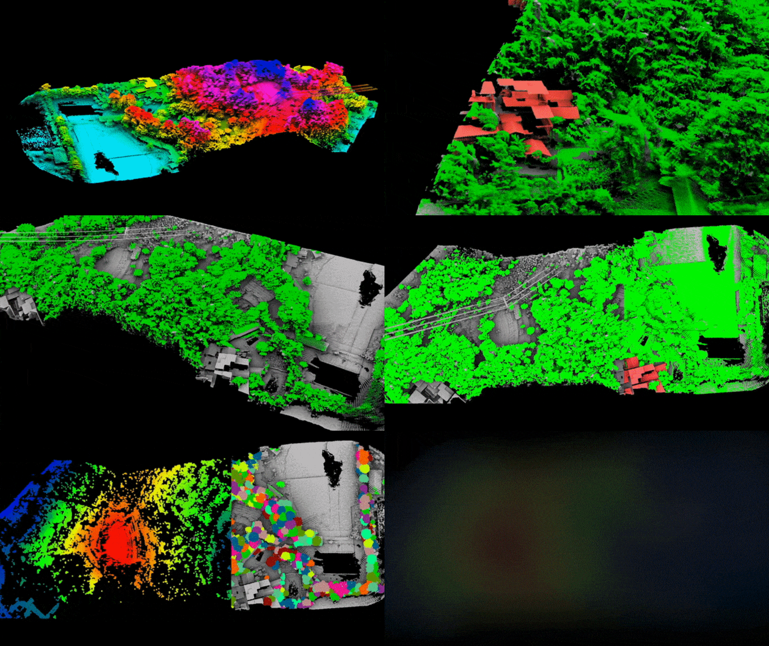
LiDAR Drones can penetrate through the foliage and measure the topography underneath the forest.
One major advantage of using LiDAR drones for BIM is the speed and efficiency with which they can capture data. Traditional methods of data collection, such as using surveying tools or taking manual measurements, can be time-consuming and labor-intensive. LiDAR drones can cover large areas quickly and accurately, reducing the time and resources needed for data collection.
Another advantage of using LiDAR drones for BIM is the ability to capture data from hard-to-reach or dangerous areas. For example, LiDAR drones can be used to inspect rooftops or high-rise buildings, which can be difficult and risky for human workers to access. By capturing this data with LiDAR drones, BIM models can provide more comprehensive information about the project.
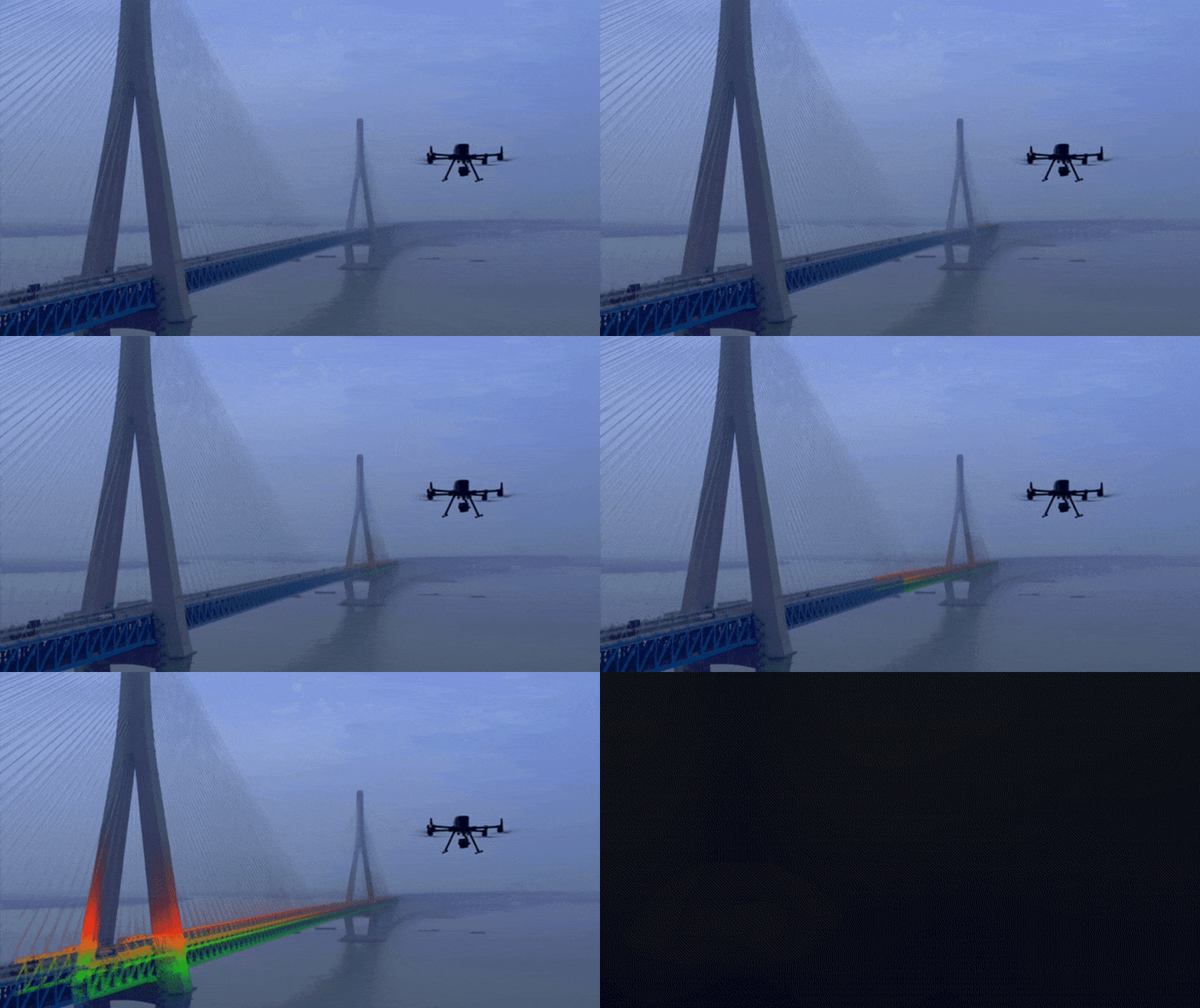
LiDAR Drones are the perfect tools for reaching tall structures.
In addition to data collection, LiDAR drones can also be used for construction site monitoring and management. By using LiDAR drones to capture aerial footage of the site, project managers can track progress and identify any issues that may arise. LiDAR drones can also be used to create 3D models of the site, allowing project managers to visualize the project in greater detail and make more informed decisions.
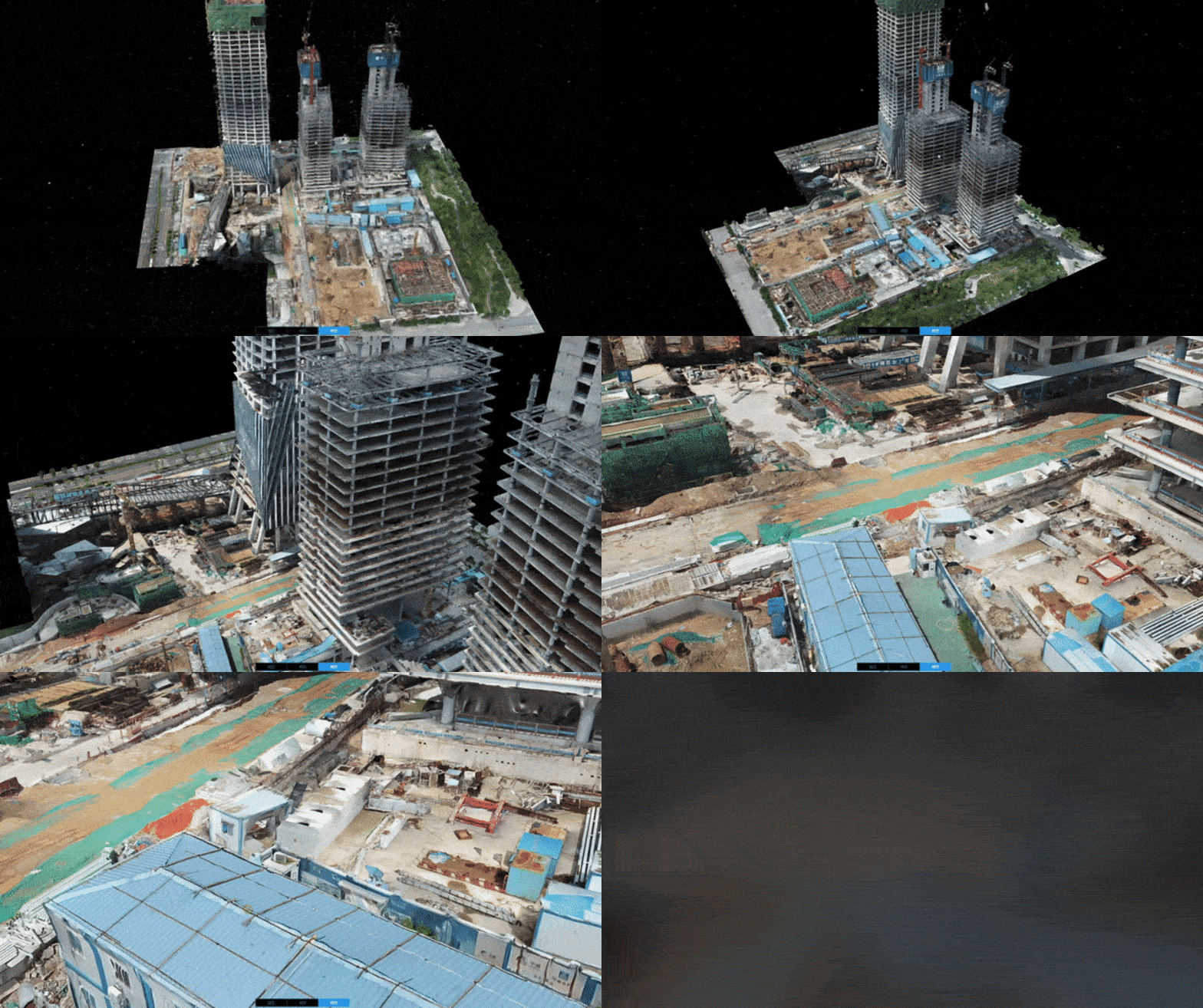
3D Drone Mapping is the most efficient solution for construction site monitoring and management.
Overall, the use of LiDAR drones in the BIM process is revolutionizing the construction industry. By providing faster, more precise, and more comprehensive data, LiDAR drones are helping to improve project collaboration, reduce errors, and increase efficiency. As technology continues to evolve, we can expect to see even more innovative uses of LiDAR drones in construction projects in the future.
THE FUTURE 3D is leading the transformation of construction efficiency & safety by providing the 3D LiDAR Scanning and Drone Photogrammetry & Aerial Inspection services in Miami, New York, Los Angeles and nationwide U.S.
If you’d like to learn more about the latest technologies, contact us below.
Ready to Start Your Project?
Get a free quote and consultation from our 3D scanning experts.
Get Your Free Quote

